
How to prepare for natural disasters.


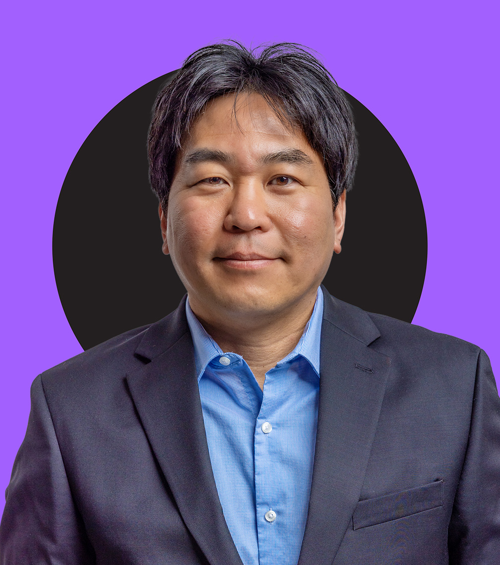
“It’s impossible to predict when an earthquake or tsunami will happen, but in certain parts of the world, we know there is always a strong possibility,” says Katsuichiro, professor of Earth sciences and the Canada Research Chair in Multi-Hazard Risk Assessment.
“My goal is to help those communities be ready, not only to survive the event, but to recover quickly when it’s over.”
Earthquakes occur when tectonic plates under the surface of our planet move. A tsunami – Japanese for “harbour wave” – is a series of massive waves usually created by an earthquake on the ocean floor. When the Earth shakes and the waves crash into coastal communities, death and destruction can follow.
Katsuichiro has experienced the power of these events himself. Growing up in the coastal city of Osaka, Japan, he was in high school when a violent earthquake struck the nearby city of Kobe in 1995. Measuring 6.9 on the moment magnitude scale, it killed about 5,500 people and caused an estimated $100 billion in damage.
It was that personal experience that sparked Katsuichiro’s interest in learning about these forces.
Today his work goes beyond understanding earthquakes – it’s about reducing their impact through initiatives like Western’s Centre for Multi-hazard Risk and Resilience where he's co-director with engineering professor Reza Najafi.
To help communities be ready for the onslaught of a tsunami, Katsuichiro has become an expert at modelling how the waves will affect a particular location when they crash ashore.
The risk maps he creates look at every aspect of an affected area, such as where people live, the types of buildings, the road system and evacuation routes.
Katsuichiro emphasizes that he relies on data from a variety of sources to create these risk maps. That’s why he works with teams made of up of many different experts.
“I need to work with people to gather the information so I can get the whole picture. We need to know who is living in a particular region and what their challenges are. So social scientists are important. We also need geographers who understand the road systems, geologists who know the land, insurance and financial experts, and engineers who can quantify the physical vulnerability of the buildings and how citizens would be affected.”
Katsuichiro believes working directly with communities is an essential component of the risk preparation modelling. He’s been doing exactly that with Tofino, a popular tourist destination on the west coast of Vancouver Island, facing the Pacific Ocean. A surfing hotspot, Tofino faces a high risk of a tsunami when the next major earthquake strikes along the Cascadia Subduction Zone, a massive fault off the Pacific coast that stretches from northern California to Vancouver Island. The town has a small permanent population of just over 2,500, but that number rises significantly in the summer months with tourists and seasonal workers.
Tofino residents hold annual evacuation drills and monthly early warning tests. Working with community leaders, Katsuichiro and his collaborators are using machine learning, seismic-tsunami mapping and future sea level rise prediction to further improve safety protocols.
He sees the models he’s helping to create as essential tools for communities around the world.


.jpg)

.jpg)
.jpg)
.jpg)
.jpg)
.jpg)
.jpg)
.jpg)

.jpg)
.jpg)
.jpg)
.jpg)



.jpg)

.jpg)

.jpg)


